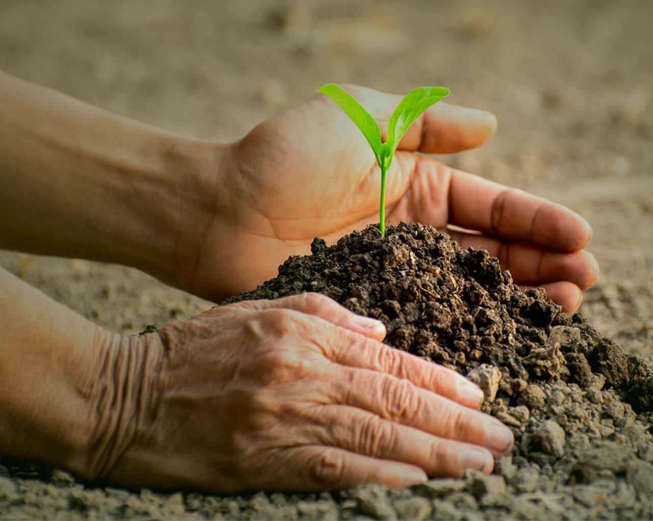
Be a part of the next technological revolution in intelligent agriculture and transition to GESHEM's innovative AG-G.I.S platform for agriculture management. Save time, prevent errors and maximize your produce – easily and efficiently.
Make the most of your plot
GESHEM technology connects every stage of the crop cycle. Our advanced technology provides you with a simple solution for maximum land utilization. Whether you’re a small or large scale farmer, whether you manage a vineyard or cultivate field crops, our integrative software will help you make data-based decisions quickly and efficiently.
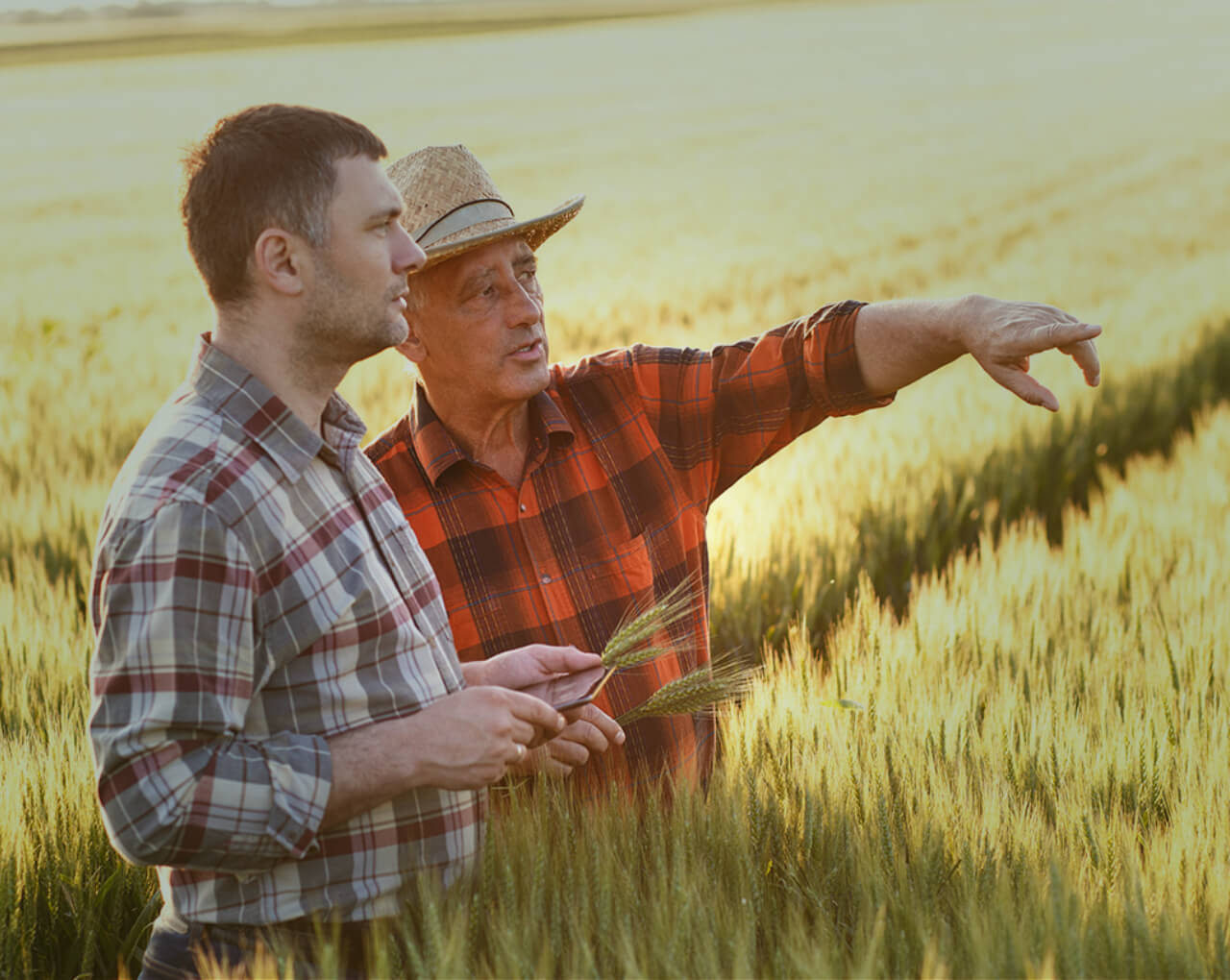
Mind your data
When you control the data, you control the harvest. Our specialized algorithm relates seemingly unrelated information by providing spatial correlation between agricultural data and geographical information. Enjoy visually accessible data in the palm of your hands.
Because you matter
AGRICULTURE G.I.S - Transforming Data into Information
GESHEM G.I.S
On line data capture
Data analysis
Multi-criteria decision analysis
Data mining
GESHEM FIELD CROPS
Online pesticide residue management
GESHEM provides an online pesticide residue management, while splitting and consolidating plots. You will receive an automatic alert to a specific area in the plot, enabling accurate decision making in crop rotation planning.
pre-harvest interval management
Different plots may be treated at different times with the same herbicides. To save time and prevent errors, we simplified the process by providing visualized and mapped data, guiding the farmer geographically and professionally.
Automatic data retrieval
Multiple DSS software make it difficult to streamline data in the organization. GESHEM’s automatic data retrieval, from various sources, enables an effortless flow of information. The farm manager can view all the information gathered through GESHEM without the need for operating different systems or receive reports from other colleagues.

EFFICIENCY
Input automation

TRANSPARENCY
Accessible data

COMFORT
All-in-one software
Plot report
Precision is the name of the game. Our map application prevents the farmer from making errors by producing a one-click report, without the need for a start and end date. Accurate Global Gap reports can be easily generated providing the farm manager with the highest resolution of data, quickly and efficiently.

FAST
One click on the map

ACCURATE
The right report for the right location

USABLE
Easy to you interface
GESHEM PLANTATION
GLOBAL GAP REPORT
Have no fear, with GESHEM’s platform it’s easy and accurate to log-in data, making all necessary Global Gap reports ready and accessible at all times. No start date and no end date needed – just one touch of a button.

No preparation required
Fast and accurate
Available at any given moment
Variety management
Presentation of data in geographical layers allows the efficient and accurate management of different varieties in the same plot. At the touch of a button, we generate a map that represents the different varieties and displays the difference in expenses such as yield, herbicides, and labor. Extract information efficiently and accurately and make data-driven decisions.
VISIBILITY
Visualize your actions
INFORMED DECISIONS
Reliable and available database
IMPROVEMENT
Bringing efficiency to all your activities
Dynamic plot management
Easily and confidently produce a dynamic map, pointing to the relevant lines for harvest without the need for dates. Receive instant, automatic alerts on the map helping you to accurately manage different varieties within the same plot.
PRECISION
Leave out the guesswork
IMMEDIATE ACTION
Real-time data to enhance efficiency
AUTOMATIC ALERTS
Get instant alerts on the map
CONTACT US
Israel office
Phone: +972 50 7924324
E-mail: [email protected]