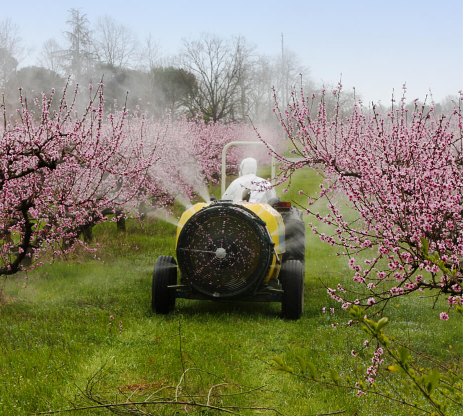
Smart Spraying
Optimize spray activities with online data directly from the field
Our technology seamlessly connects every operation in the field to an online inventory and cost management system
Real-time data for immediate actions
Locate and improve inefficiencies
Troubleshooting
Inventory management
How It Is Done
Installation
Geshem’s smart sensors are installed directly on the relevant equipment in the field.
Online data collection
Data analysis
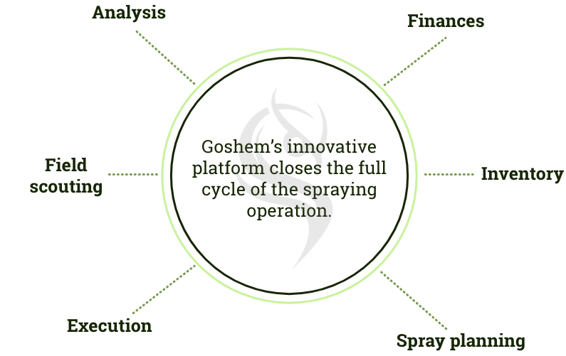
Our advanced analytical tools ensure that you are updated on every step of the operation from field scouting to finances.
Informed decision making
Optimize the entire crop protection process using our powerful platform
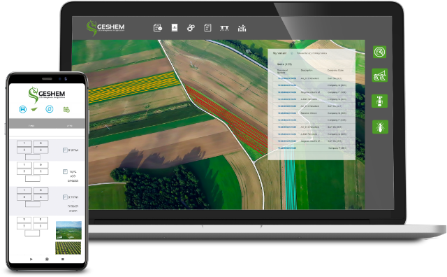
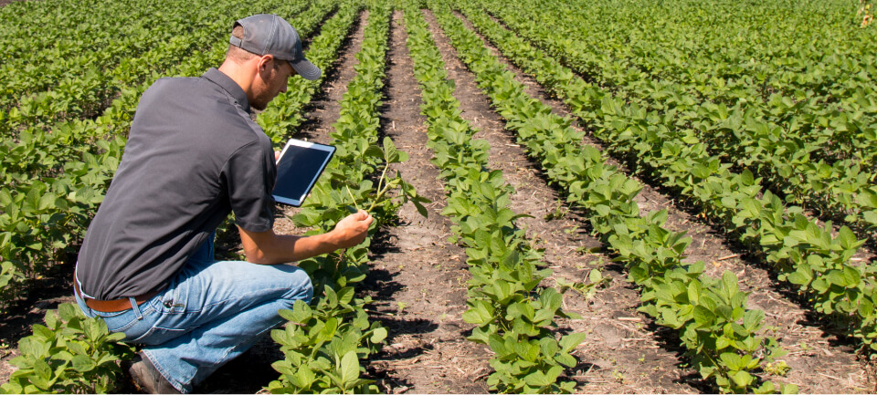
Scouting app
Identify pests, level of infection, phonological stage and next entry intervals.
Trap and pest maps, displaying pest spreading data including type, area, level infestation.
Dedicated field report, including in-field scouting notes and images.
Planning features
Schedule spray activity based on plot/variety, level, pre-harvest interval, days to harvest.
Automated spray log by plot.
Fast and easy production of work orders for all relevant persons
Operational management
Sprayers and equipment tracking including: location, speed, activity time and flow meter.
Spray mistakes detection: high tractor speed, wrong location, volume, double spray, missed rows.
Analysis of spray execution compared to planning.
Analysis
Clear online visuals of activity patterns and efficiency profiles.
Benchmark different plots and varieties, teams, sprayers and application timing.
Analysis of product efficiency at the plot level.
Remote Sensing
In modern agriculture, there is a growing demand for increased land productivity and operational efficiency.
the challenge
farmers are looking for reliable and accessible cost-effective information in order to maximize crop yields.
Our solution
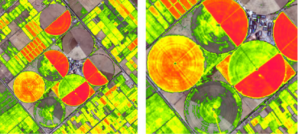
Geshem, a cloud-based platform that collects, analyzes and visually presents remotely sensed satellite data, gathered from your field.
Enjoy Geshem’s many useful features for better operational agricultural management, including analytical tools such as multiple growth layers’ maps, NDVI/GNDVI, Moisture in the soil, and more.
Our powerful service provides many advantages:
GIS Layers System
Irrigation Management
crop indices
Stress Detection

Big or small – we have your back
Our remote sensing-based platform will help you to easily asses your agricultural performance, whether you are an individual farmer or a large agricultural organization.
Open-air plot technology
We offer our services to all open-air agricultural operations – field crops, plantations, orchards and vineyards.
Stay updated, wherever you are
Stay up-to-date on your crops’ performance by receiving a satellite imagery every 3 to 5 days on average, depending on your location in the world.